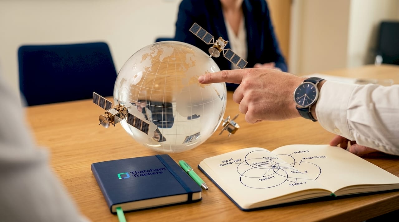
International GPS tracking is the process of determining an asset’s exact location anywhere in the world by combining satellite signals with communication networks to transmit real-time position data. The system relies on two distinct processes: a GPS receiver calculating its own position from satellite signals, and a separate cellular or satellite uplink sending that position to a monitoring platform. Understanding how these two processes work together is what separates a basic grasp of GPS from a genuinely useful one. Whether you are protecting a vehicle or monitoring a container shipment, the same core mechanics apply. Thatcham Trackers and companies like Hanhaa have built practical products directly on these principles.
How international GPS tracking works: satellites and trilateration
GPS tracking technology begins with a constellation of satellites orbiting Earth at approximately 20,200 kilometres altitude. Each satellite carries an atomic clock and continuously broadcasts a time-stamped radio signal. When a GPS receiver on the ground picks up that signal, it measures how long the signal took to arrive. That travel time, multiplied by the speed of light, gives the distance between the receiver and the satellite. This distance measurement is called a pseudorange.
One satellite gives you a sphere of possible positions. Two satellites narrow it to a circle. Three satellites reduce it to two points, one of which is usually on or near Earth’s surface. The reason four satellites are required is that GPS receivers do not carry atomic clocks. They have a small timing error called clock bias, which introduces a fourth unknown alongside the three spatial coordinates (x, y, z). A fourth satellite measurement allows the receiver to solve all four unknowns simultaneously and produce an accurate fix.
This process is formally called trilateration, though the industry term GNSS (Global Navigation Satellite System) positioning is more precise when multiple satellite constellations are involved. The American GPS system is just one constellation. Multi-constellation receivers that draw signals from GPS, GLONASS (Russia), Galileo (Europe), and BeiDou (China) achieve faster fixes and improved accuracy because they have more satellites available at any given moment. This matters enormously for international tracking, where the sky geometry above a device changes constantly as it moves across continents.
Accuracy is not uniform. In open sky conditions, modern GNSS receivers achieve positions accurate to within a few metres. Environmental factors degrade this. Tall buildings in city centres create what engineers call urban canyons, where signals bounce off surfaces before reaching the receiver, introducing errors. Tunnels and dense building interiors block signals entirely. Augmentation systems such as SBAS (Satellite-Based Augmentation System) broadcast correction signals that improve accuracy to sub-metre levels in supported regions, though coverage varies internationally.
Pro Tip: When selecting a tracker for urban fleet management, prioritise devices that support at least three GNSS constellations. This reduces the chance of a poor fix in city centres where building reflections are common.
How GPS trackers send location data across borders
GPS itself is receive-only. The receiver calculates its position without any internet connection or outbound signal. This is a critical distinction. The position fix happens silently and passively. What requires connectivity is the next step: transmitting that calculated position to a server, app, or monitoring platform so a human can see it.
![]()
For most vehicle and asset trackers, this transmission happens over cellular networks using an embedded SIM card. Internationally, this creates a dependency on roaming agreements. Cellular roaming and SIM management are critical to ensuring continuous data transmission during cross-border tracking. A tracker moving from the UK into France, Germany, or beyond must connect to local mobile networks, and the quality of that connection depends entirely on which networks the SIM provider has agreements with.
Key factors that affect international data transmission include:
- SIM type. Standard SIMs are locked to one carrier. Multi-network or global SIMs automatically connect to the strongest available network in each country, reducing dead zones.
- Update frequency. Trackers set to report every 10 seconds consume far more data than those reporting every 60 seconds. For international logistics, less frequent updates reduce roaming costs without sacrificing useful visibility.
- Cloud platform. Location data is sent to a server and displayed via a web dashboard or mobile app. The quality of this platform determines how useful the data is, including features like route playback and geofence alerts.
- Satellite uplinks for remote areas. Where cellular coverage fails entirely, such as in open ocean shipping or remote overland routes, some trackers switch to satellite communication networks like Iridium or Globalstar to maintain data continuity.
Offline GPS can still calculate location without internet, but map data requires connectivity or preloading for visualisation. This means a tracker in a cellular dead zone continues logging positions internally and uploads them in a batch once connectivity is restored. For logistics operators, this buffered logging is a standard feature to look for.
Pro Tip: For international shipment tracking, choose a device with a global multi-network SIM and onboard data buffering. This combination covers both connectivity gaps and cost control across multiple countries.
What types of international GPS trackers are available?
GPS tracking devices vary significantly in power source, form factor, and feature set. Choosing the right type depends on whether the priority is vehicle security, long-duration logistics, or flexible asset monitoring.
| Tracker type | Power source | Battery life | Best use case | Key features |
|---|---|---|---|---|
| Hardwired vehicle tracker | Vehicle battery | Indefinite | Car and fleet security | Geofencing, remote immobilisation, tamper alerts |
| Battery-powered portable | Internal battery | Days to weeks | Short-term asset tracking | Compact, easy to conceal, flexible placement |
| Solar-powered tracker | Solar plus battery | Weeks to months | International container shipments | Low maintenance, continuous monitoring |
| 4G asset tracker | Internal battery | Weeks | Cross-border asset tracking | Magnetic mounting, cellular connectivity |
Solar-powered GPS trackers allow ongoing tracking of container shipments during extended international transits without frequent battery swaps. Hanhaa Supply Chain Solutions has built a reusable model around this principle: devices are returned after delivery, recharged, updated, and redeployed, which reduces both cost and waste in global logistics operations.
For vehicle security, hardwired trackers offer the most reliable performance. Geofencing and event workflows allow these systems to send alerts on route deviations and support remote immobilisation commands when connectivity allows. Thatcham-approved trackers, certified by Thatcham Research (the UK’s central automotive risk intelligence organisation), meet independently verified security standards that insurers recognise. This certification is not cosmetic. Insurance companies use Thatcham ratings to assess theft risk, and a certified tracker can directly reduce your premium.
The Thatcham Trackers S5 advanced vehicle tracker and the S5 Plus system are examples of hardwired solutions designed for continuous monitoring with full security certification. For flexible asset tracking across borders, a 4G GPS asset tracker with magnetic mounting provides a practical option without permanent installation.
What are the main limitations of GPS tracking internationally?
No tracking system operates without constraints. Understanding these limitations helps you select the right device and set realistic expectations for coverage and accuracy.
GPS signals cannot penetrate deep underground or dense buildings, so tracking accuracy degrades in tunnels, car parks, and urban canyons. In these environments, devices may rely on Wi-Fi positioning or dead reckoning (using the last known speed and direction to estimate current position) to maintain continuity. Dead reckoning is useful but accumulates error over time, so it works best as a short-term bridge rather than a primary method.
Practical limitations to plan for include:
- Cellular coverage gaps. Rural areas in Eastern Europe, parts of Africa, and remote shipping routes may have limited or no cellular coverage. A global SIM reduces but does not eliminate this risk.
- Roaming restrictions. Some countries restrict foreign SIM roaming. Operators using dedicated international SIM providers typically navigate this more reliably than consumer-grade SIMs.
- Signal multipath errors. In dense cities, signals reflecting off buildings before reaching the receiver can shift a reported position by tens of metres. Multi-constellation receivers reduce this effect but do not eliminate it.
- Power management. Battery-powered trackers in power-saving mode reduce update frequency to extend life. This creates gaps in the tracking record that may matter for high-value or time-sensitive shipments.
Selecting a tracker with multi-constellation GNSS support, a global SIM, onboard data buffering, and a reputable cloud platform addresses the majority of these challenges for most international use cases. For car theft prevention, combining a hardwired Thatcham-certified tracker with a secondary portable unit provides redundancy that a single device cannot.
Key takeaways
International GPS tracking works because satellite trilateration calculates position and cellular or satellite networks transmit that data to monitoring platforms, with multi-constellation receivers and global SIMs addressing the main coverage and accuracy challenges.
| Point | Details |
|---|---|
| GPS is receive-only | Satellites calculate position passively; cellular connectivity is only needed to transmit data to a platform. |
| Four satellites are required | A fourth satellite solves receiver clock bias alongside three spatial coordinates for an accurate fix. |
| Multi-constellation receivers improve reliability | Using GPS, GLONASS, Galileo, and BeiDou together delivers faster fixes and better urban accuracy. |
| Cellular roaming drives international data | Global SIMs with multi-network agreements reduce coverage gaps across borders. |
| Tracker type must match the use case | Solar-powered units suit long logistics runs; hardwired Thatcham-certified trackers suit vehicle security. |
GPS tracking in practice: what experience shows
From Thatcham Trackers’ perspective, the most common misunderstanding we encounter is the belief that GPS tracking is a single technology. It is not. It is two systems working in sequence: a positioning system and a communications system. When one fails, the other still functions. A tracker in a tunnel still knows where it was when it lost signal. A tracker with no cellular coverage still logs positions for later upload.
The practical implication for vehicle owners is straightforward. A Thatcham-certified hardwired tracker provides the most reliable security coverage because it draws on the vehicle’s power, maintains a persistent cellular connection, and meets independently verified standards that insurers accept. For businesses running international fleets or shipments, the investment in a global SIM and a cloud platform with route playback pays back quickly in reduced theft losses and improved delivery visibility.
The technology has matured considerably. Multi-constellation receivers are now standard in mid-range devices. Solar-powered logistics trackers from companies like Hanhaa have removed the battery maintenance burden from long-haul operations. The remaining gap for most users is not hardware. It is choosing the right combination of device, SIM, and platform for their specific geography and use case.
— Thatcham Trackers
Protect your vehicle with a certified GPS tracker
Thatcham Research independently tests and certifies vehicle security systems to a recognised standard that UK insurers use to assess theft risk. A Thatcham-approved tracker is not just a monitoring device. It is a certified security credential that can lower your insurance premium and support theft recovery.
![]()
Thatcham Trackers supplies a range of certified devices suitable for UK vehicles and cross-border use, including hardwired systems with remote monitoring, geofencing, and tamper alerts. Whether you drive a standard car or a high-value vehicle, there is a certified solution to match. Browse the full range of Thatcham-approved trackers to find the right fit for your vehicle and insurance requirements.
FAQ
How does GPS tracking work without the internet?
GPS receivers calculate position passively from satellite signals without any internet connection. An internet or cellular connection is only required to transmit that calculated position to a monitoring platform or app.
Why do GPS trackers need at least four satellites?
Four satellite measurements are needed to solve for three spatial coordinates and the receiver’s clock bias simultaneously. Fewer satellites produce an inaccurate or incomplete position fix.
Can GPS trackers work in other countries?
Yes, provided the tracker uses a SIM card with international roaming or a global multi-network SIM. Coverage quality depends on roaming agreements in each country, and remote areas may require satellite communication as a fallback.
What is a Thatcham-approved GPS tracker?
A Thatcham-approved tracker is a vehicle security device independently tested and certified by Thatcham Research, the UK’s central automotive risk intelligence organisation. Insurers use these ratings to assess theft risk and may offer lower premiums for vehicles fitted with certified devices.
How accurate is international GPS tracking?
In open sky conditions, modern GNSS receivers are accurate to within a few metres. Accuracy reduces in urban canyons, tunnels, and dense buildings, where signal reflections and blockages introduce errors. Multi-constellation receivers and augmentation systems improve accuracy in these environments.
Recommended
- All GPS tracker devices include our Home Plan GPS tracking app and software free. You can upgrade to our Professional or Enterprise plans below. - GPSBob – Thatcham Trackers
- All GPS tracker devices include our Home Plan GPS tracking app and software free. You can upgrade to our Professional or Enterprise plans below. - GPSBob – Thatcham Trackers
- Why leased cars need approved trackers – Thatcham Trackers
- S5 tracker monitoring features list explained – Thatcham Trackers